En
Log in
All resources
Create a design
Tools
357,572 Free Images of Maps
1552
geographiae claudii ptolemaei alexandrini (münster
geographical illustrations by coronelli
continent
geography
earth
world
sphere
world globe
pages with maps
people with maps in art
1840 paintings
18th-century maps of the world
armillary spheres in art
illustrowany przewodnik do tatr
pienin i szczawnic
old celestial maps
comet
popular science monthly illustrations/volume 10
ancient earth views
austro-hungarian north pole expedition
images of vasárnapi ujság in 1874
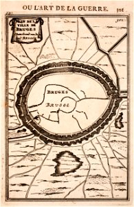
prints from manesson travaux de mars at the peace palace library
maps of bruges
geographical illustrations by coronelli
maps of icaria
18th-century maps of berlin
1712 in berlin
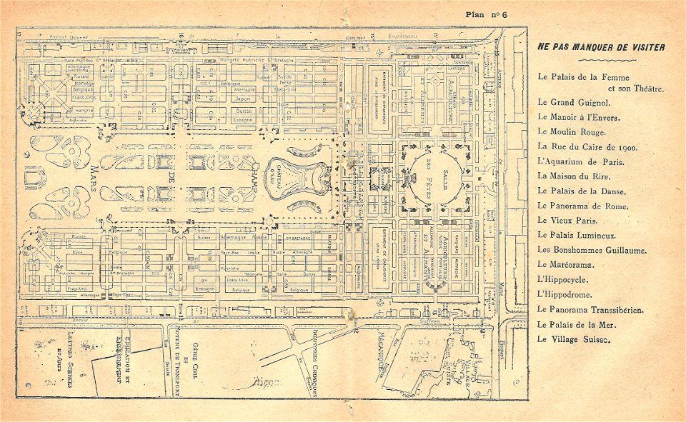
illustrations du catalogue remboursable de l'expo 1900
maps of the exposition universelle (1900)
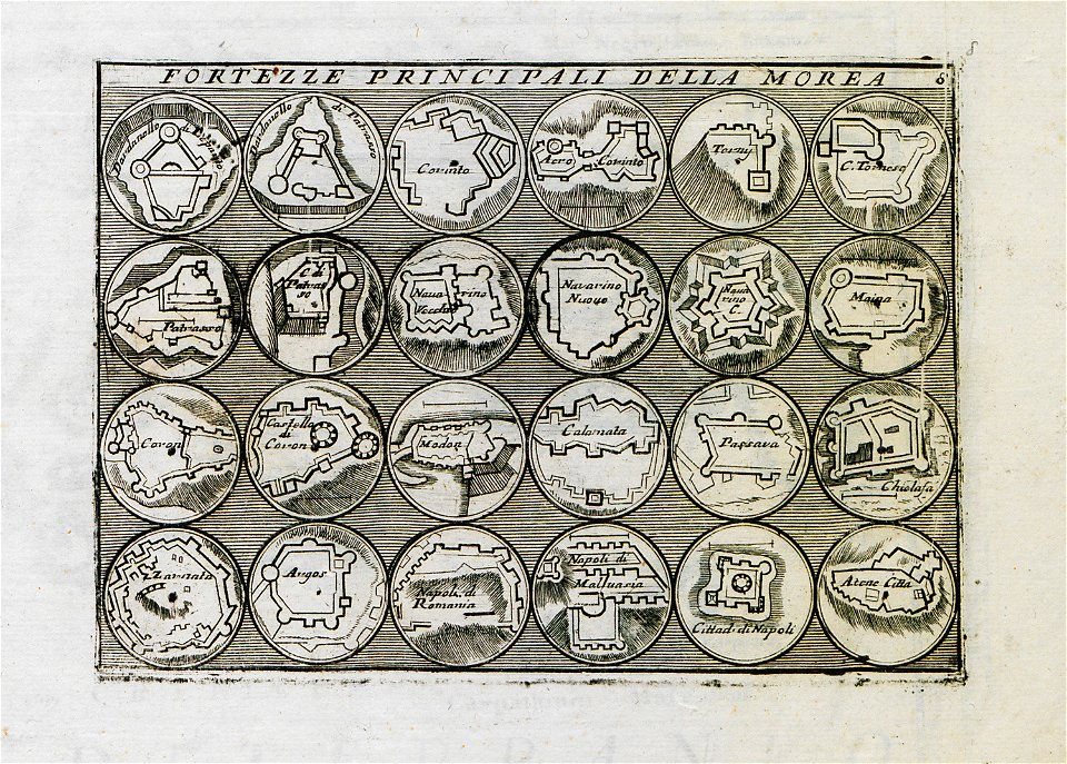
geographical illustrations by coronelli
old maps of the peloponnese
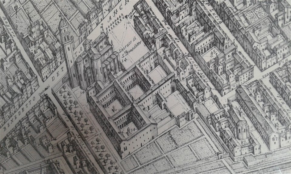
map of ferrara by andrea bolzoni
corso porta po (ferrara)
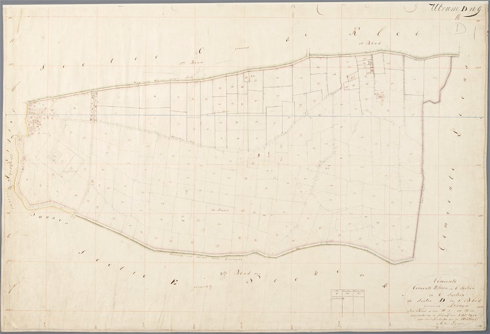
asingaborg (ulrum)
ulrum
prints in the teylers museum
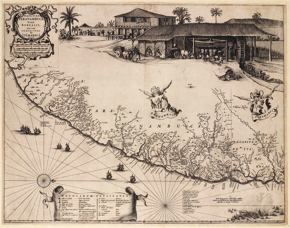
old maps of pernambuco
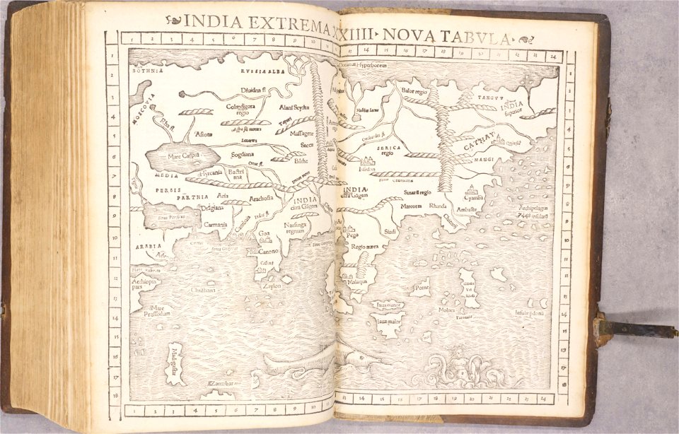
old maps of asia
1552
old maps of bohemia
1552
old maps of transylvania
1552
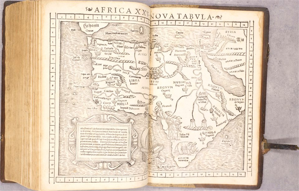
1550s maps of africa
1552
old maps of the americas
1552
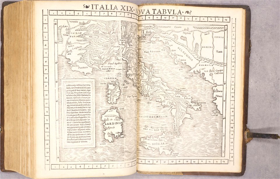
old maps of italy
1552
old maps of havana
cuba in the 1860s
volume 9 of le tour du monde
19th-century maps of egypt
lepsius-projekt - temples
lepsius-projekt - maps
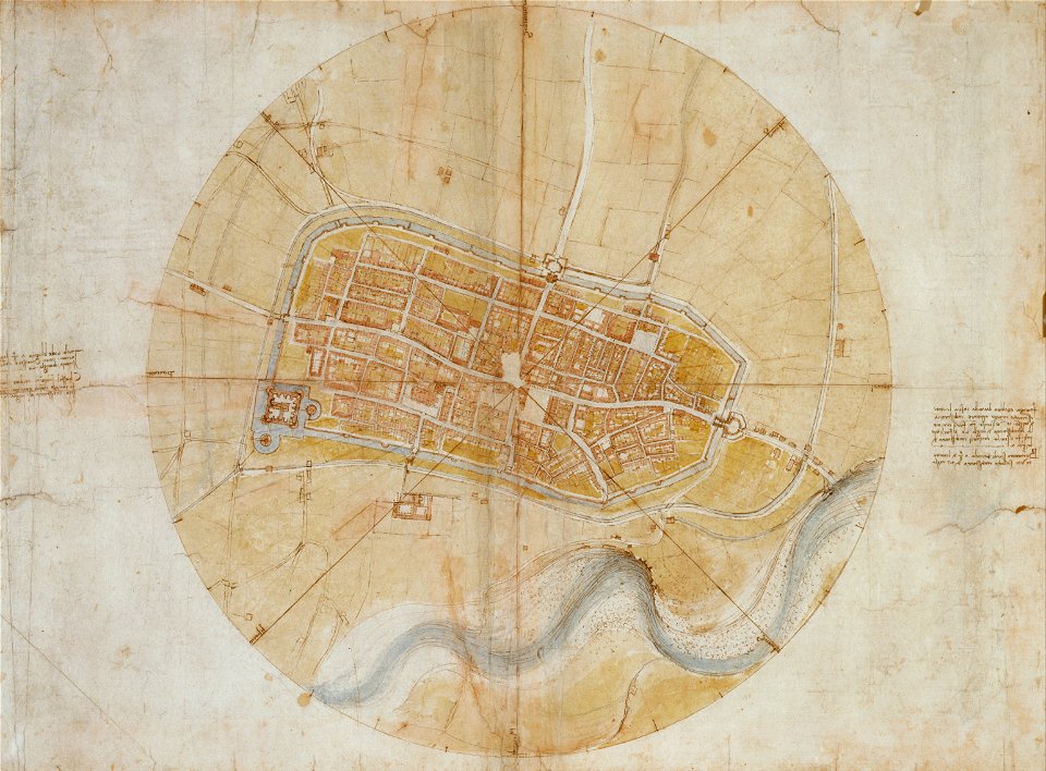
leonardo da vinci
imola
19th-century maps of tanzania
volume 1 of le tour du monde
maps of the dutch east india company - india
1709
itinerarium hierosolymitanum et syriacum..., 1619
africa
maps
self-published work
israel
itinerario (jan huygen van linschoten)
latin-language maps
symbol
ship
gold
game
symbol
roads
earth
maps
africa
maps
science
skull
self-published work
weather map symbols
svg flag maps of slovenia
self-published work
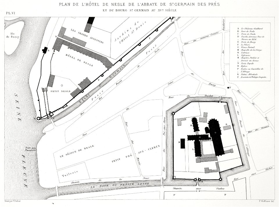
paris
maps
saint-germain-des-prés
lithographs of paris
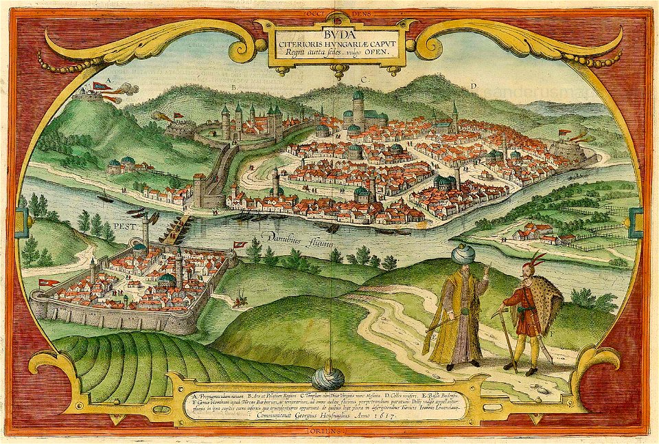
buda castle in art
buda castle
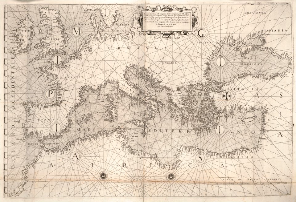
16th-century maps of the black sea
maps in the library of congress
16th-century maps of the black sea
maps in the library of congress
self-published work
landscape
self-published work
architecture
self-published work
architecture
maps
flag
vector images using elements from other vector images
self-published work
landscape
nature
planet
earth
1715 maps of mecklenburg-vorpommern
battles of the great northern war
self-published work
weather map symbols
australia
maps
brazil
maps
countries
gray
stones
star
earth
maps
pharmacy
logo
flag maps of the czech republic
self-published work
16th-century maps of georgia
old maps of samegrelo
self-published work
russian
animals
maps
travel
maps
geographical illustrations by coronelli
old maps of the peloponnese
old maps of zürich
zürich
maps of fortifications
arab–khazar wars
university of toronto wenceslas hollar digital collection
isle of man
images of venice by jacopo de' barbari
maps in the rijksmuseum amsterdam
brusselsepoort (maastricht gate)
lindenkruispoort (maastricht)
maps in the stadsarchief amsterdam
hendrik de leth
maps in the stadsarchief amsterdam
hendrik de leth
military history of new zealand
maps of battles
hells gate
1886 maps
18th-century maps of liguria
matteo vinzoni
images from bristol past and present (1882)
history of bristol
maps of the west-indische compagnie
1644
maps of the dutch east india company - south africa
1726
pennsylvania
apollo
spanjaardenkasteel
atlas de wit 1698
old maps of bourbourg
atlas de wit 1698
atlas de wit 1698
netherlands
paintings of hunting
maps in art
the central alps ... being the second part of the alpine guide ... new edition (with maps) by ball
john - president of the alpine club
prints from marana espion turc at the peace palace library
maps of the dardanelles
prints from marana espion turc at the peace palace library
maps of valenciennes
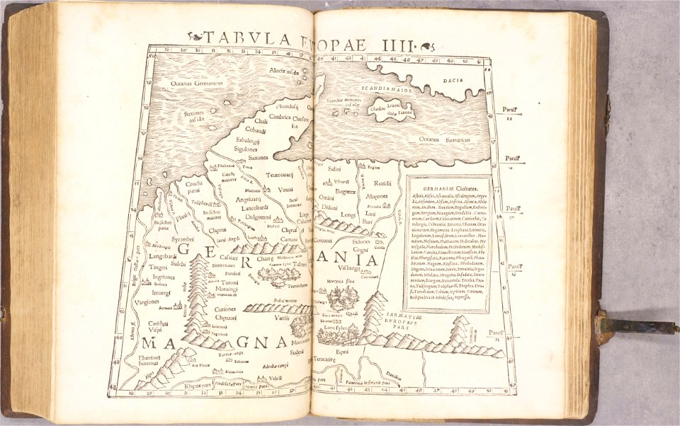
ptolemy's 4th european map
1552
ptolemy's 8th european map
1552
ptolemy's 2nd african map
1552
geographiae claudii ptolemaei alexandrini (münster
1552
ptolemy's 5th european map
1552
geographiae claudii ptolemaei alexandrini (münster
1552
geographiae claudii ptolemaei alexandrini (münster
1552
geographiae claudii ptolemaei alexandrini (münster
1552
geographiae claudii ptolemaei alexandrini (münster
1552
geographiae claudii ptolemaei alexandrini (münster
1552
old maps of baden-württemberg
1552
geographical illustrations by coronelli
old maps of the peloponnese
geographical illustrations by coronelli
history of the dodecanese
northern hemisphere
maps with figures
northern hemisphere
maps with figures
12901 - 13000 of 357,572
Next page
/ 3576